Atlas of Switzerland - Logo

Menu

Skip to content
  • Home
  • News
  • Maps
  • Portfolio
  • Publications
  • Download
  • en
    • Deutsch
    • Français
    • Italiano
    • English

Category: Maps

184 maps found

Degree of urbanisation of the communes

Friday January 8th, 2021 / Raimund Schnürer / No Comments

Territorial division by communes

Friday January 8th, 2021 / Raimund Schnürer / No Comments

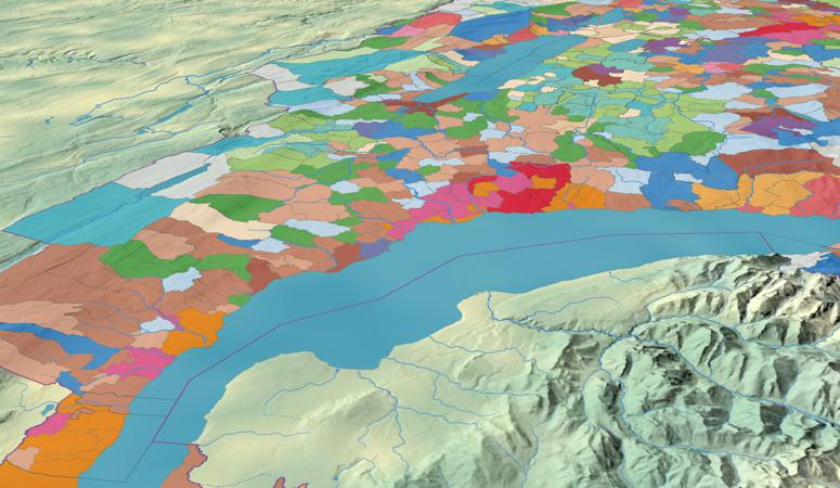
‘Reversed’ municipalities: Allocation of residents based on inhabitable area

Tuesday July 7th, 2020 / Raimund Schnürer / No Comments

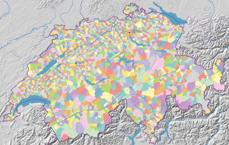
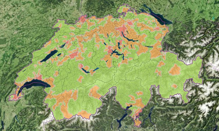
Land cover and land use: profiles of the municipalties

Tuesday February 4th, 2020 / Raimund Schnürer / No Comments

Coats of arms of cantons and municipalities

Tuesday August 27th, 2019 / Raimund Schnürer / No Comments

Municipality typology SFSO

Wednesday May 8th, 2019 / Raimund Schnürer / No Comments

Grid operators by communes

Tuesday April 24th, 2018 / Raimund Schnürer / No Comments

Number of registered dogs

Tuesday January 19th, 2021 / Raimund Schnürer / No Comments

Population density: Censuses 1850–2000

Friday January 8th, 2021 / Raimund Schnürer / No Comments

Proportions of jobs by economic sectors

Friday January 8th, 2021 / Raimund Schnürer / No Comments

Post navigation

Older posts
© 2021 Atlas of Switzerland | Institute of Cartography and Geoinformation, ETH Zurich | Contact | Status | Twitter | YouTube