Seasonal flow of the Reuss: average values over 20 years Friday April 8th, 2022 / adsadmin / No Comments
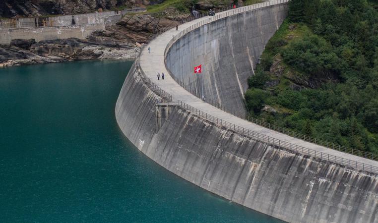
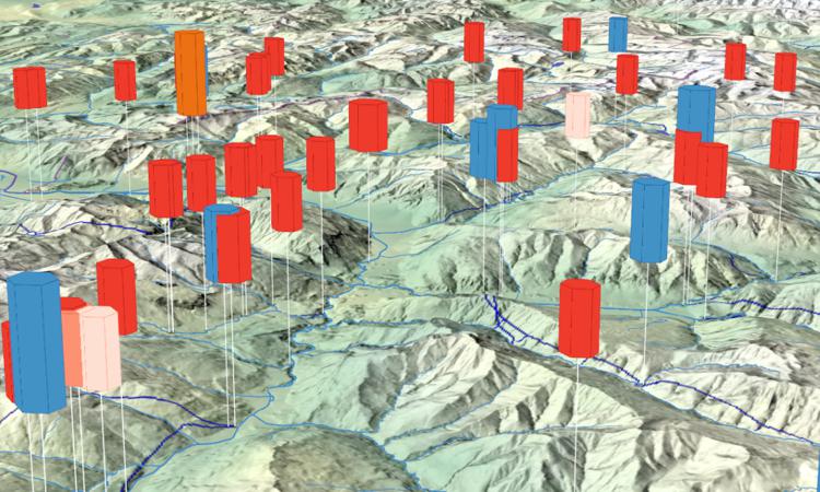
Hydropower plants planned (Energy Strategy 2050) Friday June 20th, 2025 / Andreas Neumann / No Comments
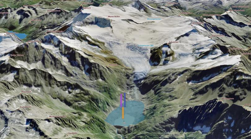
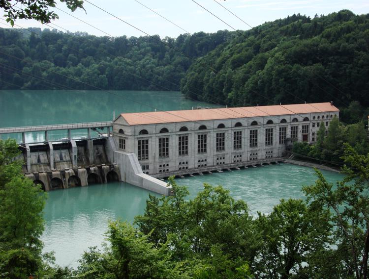
Hydro power plants: water volume required and pump efficiency Tuesday March 18th, 2025 / Luca Gaia / No Comments
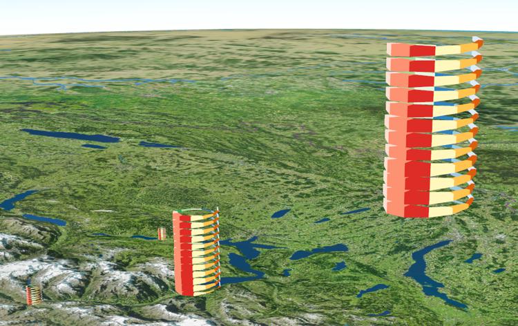
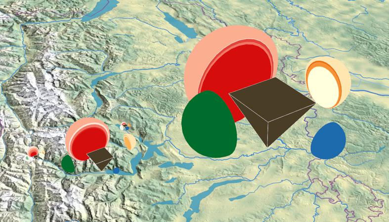
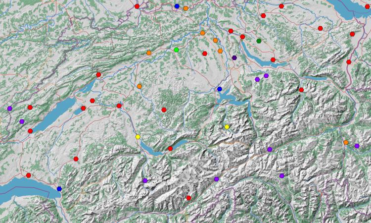
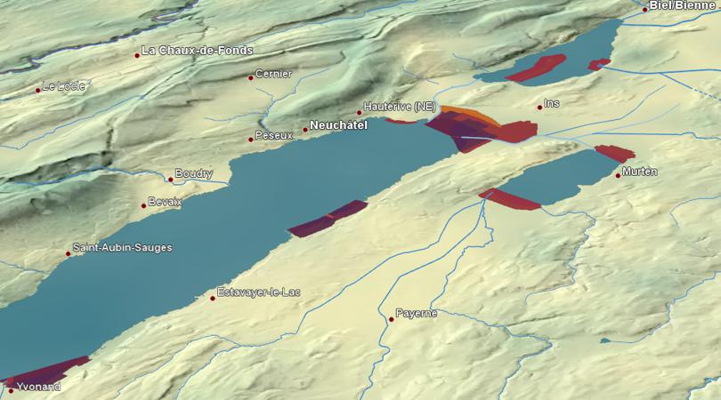
Reserves for waterfowl and migrant birds of national importance (WV) Friday October 27th, 2023 / Luca Gaia / No Comments