Spring Updates
We are pleased to share news about the Atlas of Switzerland. A lot has happened in the past few weeks!
New Team Member
At the beginning of February, a new PhD student joined our team: a warm welcome to Clarisse Aubert! With her background in geomatics and her extensive experience in geoinformatics and UX Design, she will bring valuable expertise to the team. Her PhD work focuses on storytelling with maps.
GeoBeer
On February 5th, the GeoBeer event took place at the Institute of Cartography and Geoinformation at ETH Zurich. GeoBeer is a gathering of professionals and enthusiasts from the geospatial community, enabling the exchange of ideas and networking. This time, the event was organized in collaboration with our institute. We had the opportunity to give a brief presentation on the further development of the Atlas of Switzerland and received valuable feedbacks.
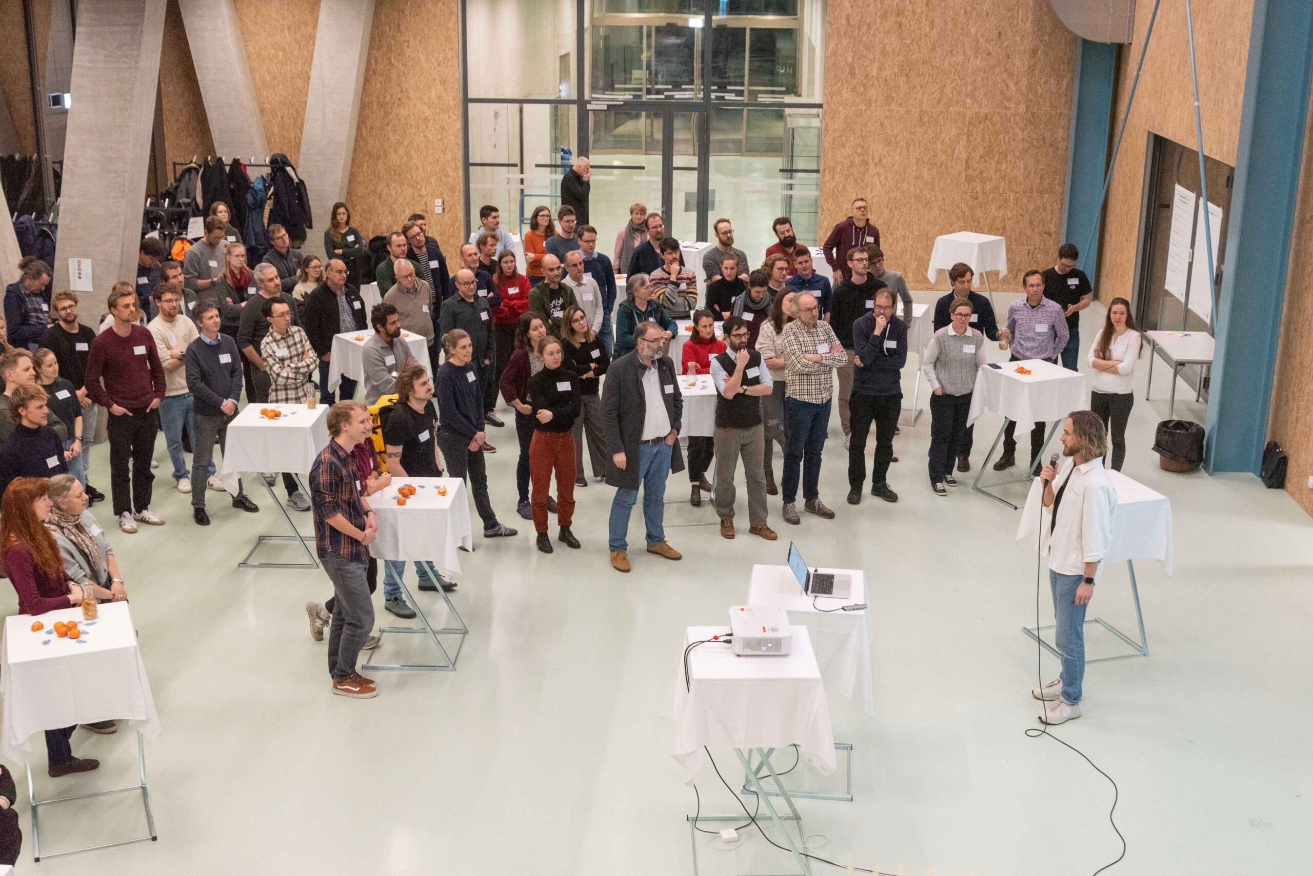
GeoBeer at the Institute of Cartography and Geoinformation (Image: Adrian Sarbach)
Publication of a Paper
On February 22nd, a paper was published in the ISPRS International Journal of Geo-Information: Climate Change Maps for the Atlas of Switzerland . The paper presents three maps from the Atlas of Switzerland that visualize the effects of climate change: a map showing the rise of the zero-degree isotherm, one on phenology (changes in plant flowering dates), and a map depicting the development of glacier lakes. The article demonstrates ways to visualize the effects of climate change and discusses important points that should be considered when creating such maps.
New Maps
Several exciting new maps have been released.
• Thermal use of lakes and rivers: This map shows how water from rivers and lakes can be used for heating and cooling, highlighting the large, often untapped, potential of lakes.
• Plant phenology: This special map uses 3D symbols to present changes in plant flowering dates.
• Prehistoric pile dwellings around the Alps: A leap into the past, this map allows you to explore the pile dwellings in Switzerland and in neighbouring countries.
• Hydropower plant projects (Energy Strategy 2050): This map shows the 16 hydroelectric projects of the “Hydropower Round Table” and several additional projects. It addresses aspects of production, economic feasibility, and environmental impact, and provides information on the project status. If available, the project’s website is also linked.
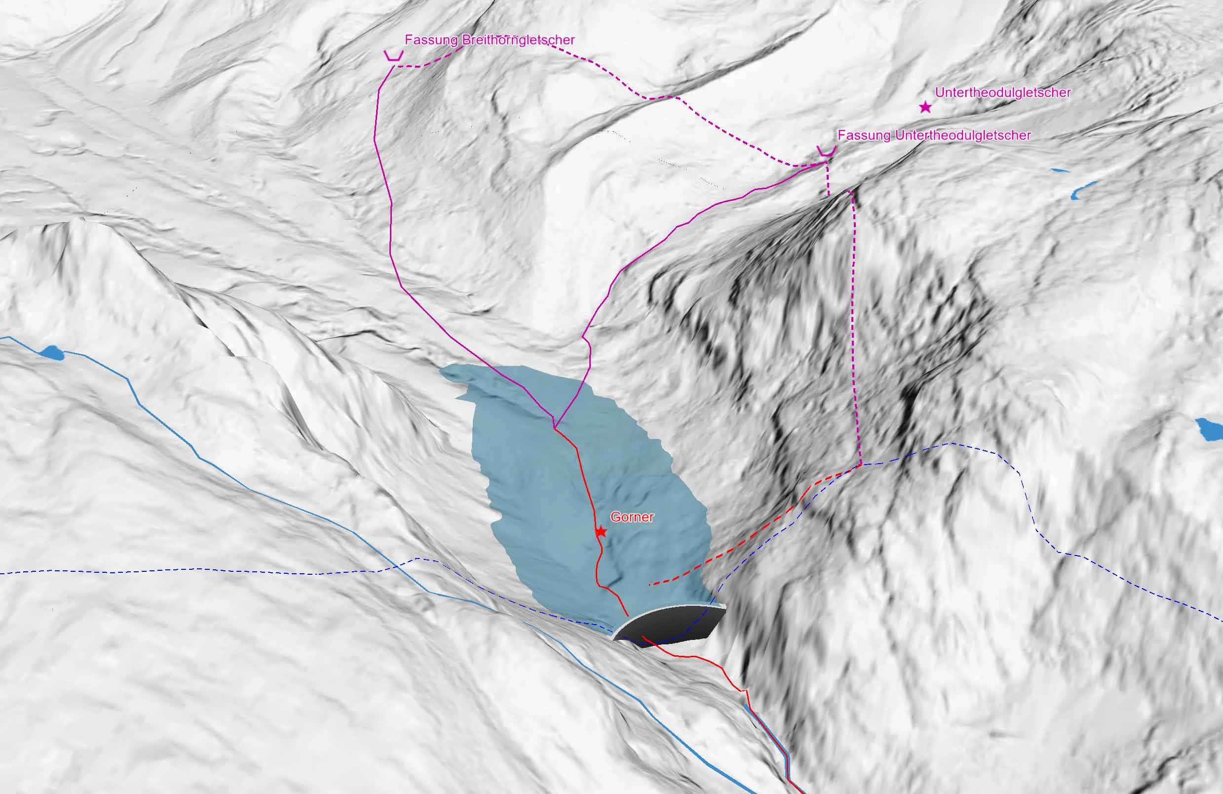
Detail of the map about the hydroelectric projects
New Version of the Atlas of Switzerland
As mentioned in the article from July 2024, the Atlas of Switzerland is continuously evolving with the aim of making it fully accessible online. The project is progressing: The first development phase, in collaboration with an external user experience agency, has been successfully completed. The programming of the new user interface and the new web-based map engine is currently underway. We will keep you updated on the progress!
Stay tuned and follow us for more exciting updates on the Atlas of Switzerland!